Old Davis Ford Road
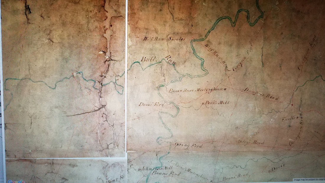
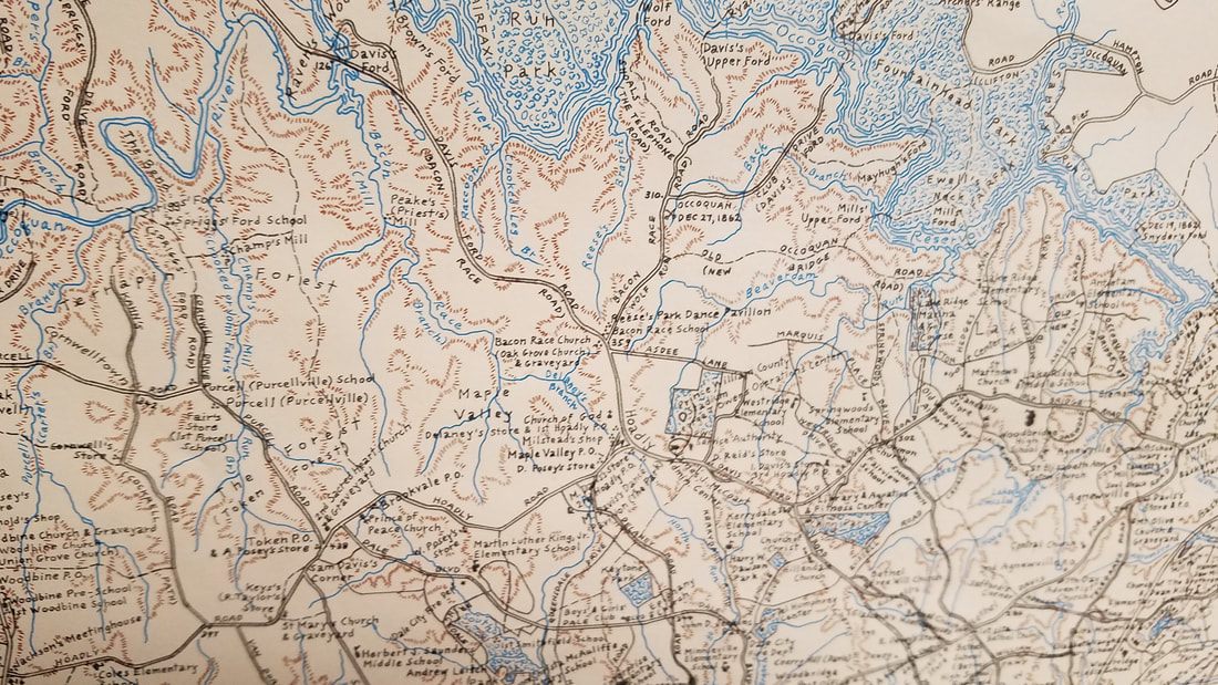
1820 map showing Davis's Ford, Bacon Race Church, and Peak's Mill.
The Road's Path
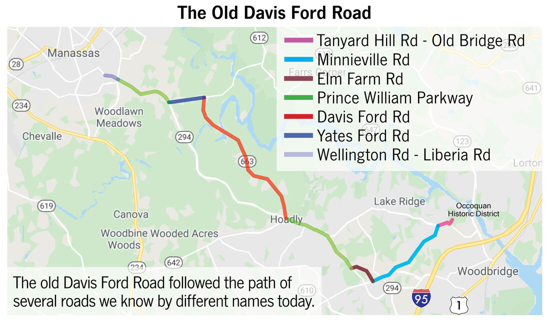
Old Davis Ford Road meandered for over fifteen miles from the Town of Occoquan to Manassas. A version of the road is shown on an 1820 map, so it was in existence at least as far back as that time. The road took its name from the ford on the Occoquan River named after the Davis family. William and Thomas Davis either bought or were granted (possibly as revolutionary war pensions) large tracts of property on both sides of the Occoquan around 1720 from Robert "King" Carter, who was one of the first land speculators in the area. Carter controlled over 90,000 acres. There were other fords named after Davis family members, such as the Sallie Davis Ford at what is now the Fountainhead Park boat launch area. In the 1930's, the Davis Ford Road was a little more than one car wide, and the Occoquan bridge was one lane. It wasn't paved until the late 1940's.
Twists and turns
The old road included parts of what today is Minnieville Road, Elm Farm Road, Pennington Lane, Prince William parkway and Yates Ford Road. Starting from the town of Occoquan, the road went up the hill towards Old Bridge, turning left on Minnieville Road, then turned off Minnieville on Elm Farm Road and continued on Pennington Lane and Lipscomb Place before merging back to the Parkway.
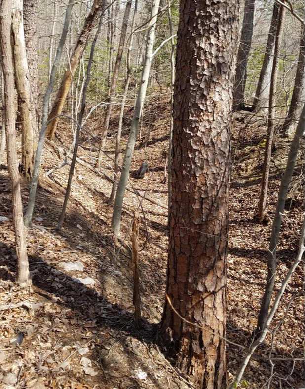
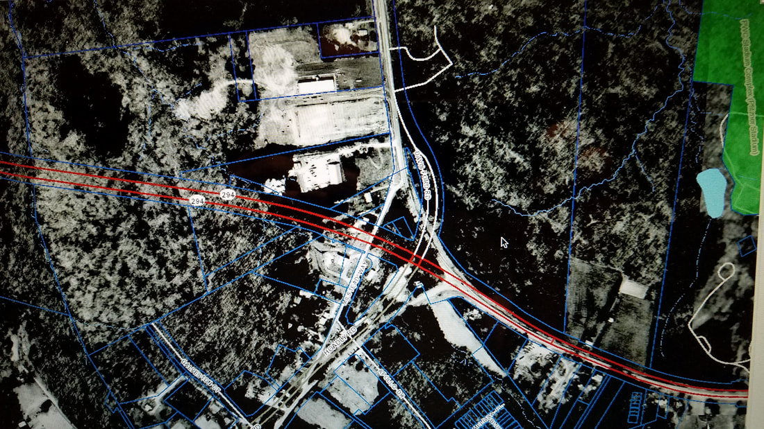
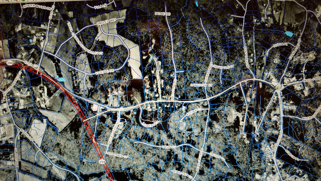
It followed the Parkway path before turning onto Davis Ford Road near where the community of Hoadly existed. Then it generally followed the current road path with some important exceptions- it's been straightened and leveled out over the years, taking a completely different path in places. In some of these areas, you can actually see three different paths of the road side-by-side- the current one, the 1957 paved version, and the earlier unpaved road. The unpaved version is deeply set into the ground from erosion over many years. These areas can be seen on the 1937 aerial map available on the County Mapper function of the county website.
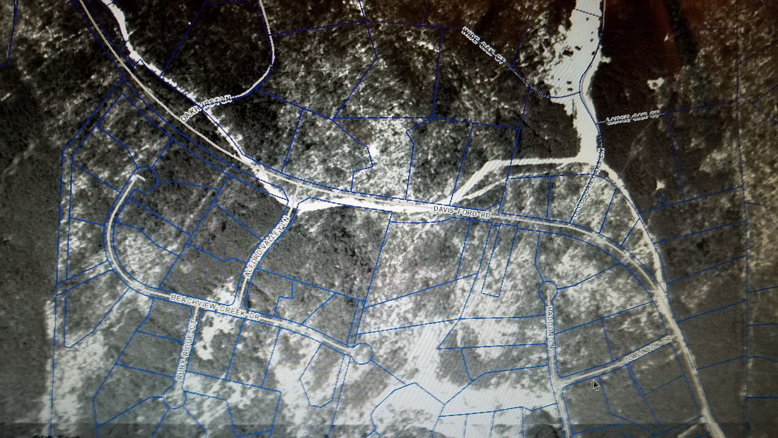
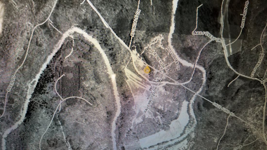
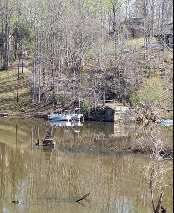
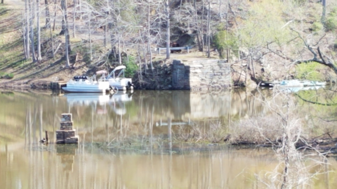
The area where it crosses the Occoquan River the path was quite different, following Occoquan Forest Drive up the hill and back down to cross the Occoquan almost perpendicular to the current bridge. You can see the stone bridge abutment on the right as you cross the current bridge going towards Manassas. It curved to the north before crossing the current roadbed and curving around on the east side to reconnect to the current road near the top of the hill (first aerial picture below).
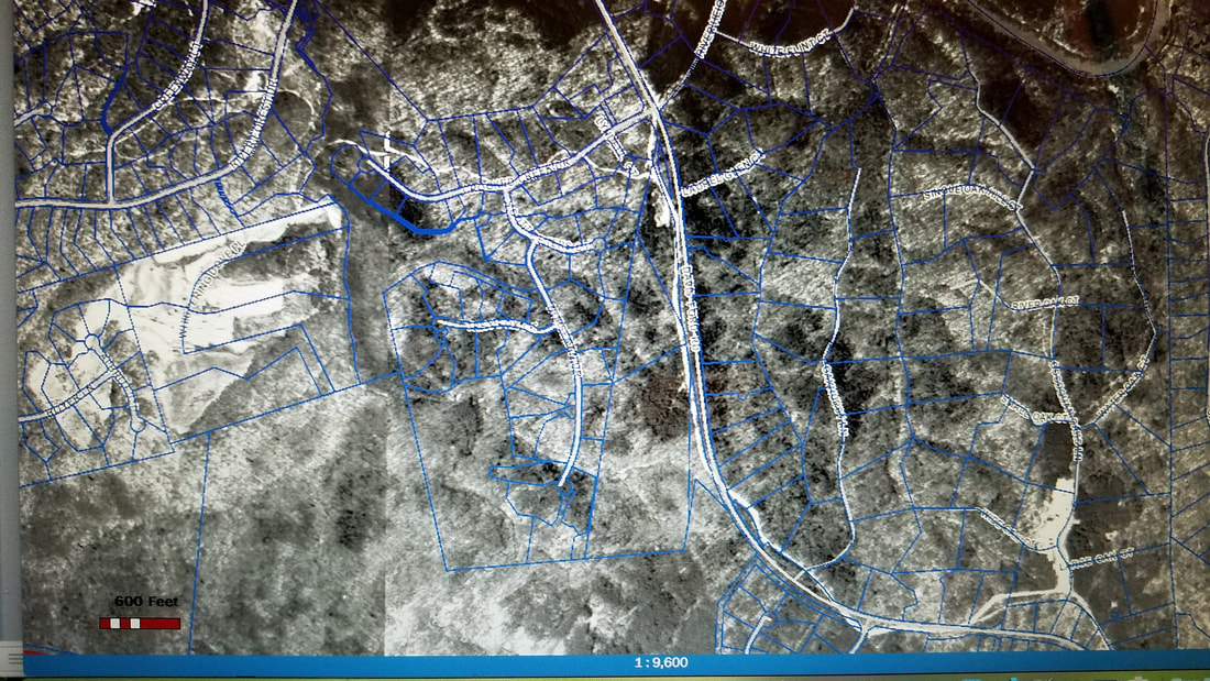
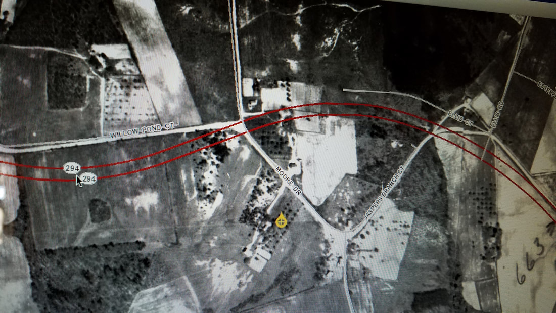
Further on, there was a gentle left curve where it meets what is now Yates Ford Road, continuing on to another gentle curve where it meets the current Parkway. The road continued to Manassas, jogging to the left and back to pass Buckhall School, taking the path of the current Jaspers Branch Court and Moore Drive. Most of these twists and turns were eliminated when the road was straightened in 1957.
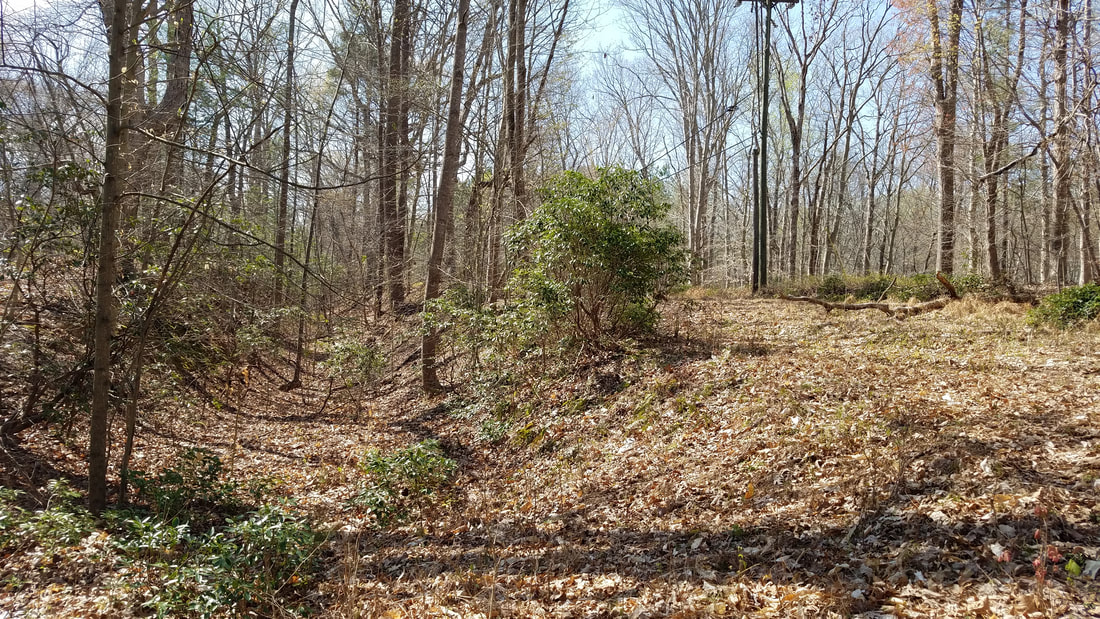
Divergent section of the old road. The telephone poles still line the old road.
Path of old Davis Ford Parallel to the current road.
Path of old road vs new road at the Occoquan crossing.
Path of old road vs new at Buckhall Church area.
Multiple paths of Davis Ford where they're parallel. The oldest (1820) section is on the left and the newer paved path (with the telephone pole) is on the right. The current road is further to the left.
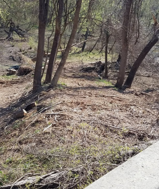
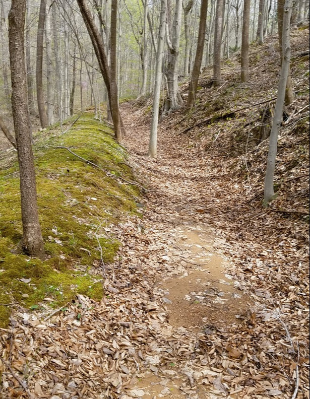
Deeply eroded section of the old (circa 1820) road.
Old road path vs new path at the Occoquan crossing. The old bridge is perpendicular to the new one.
Old bridge abutment seen from the current bridge. The dance hall grill is seen in the foreground.
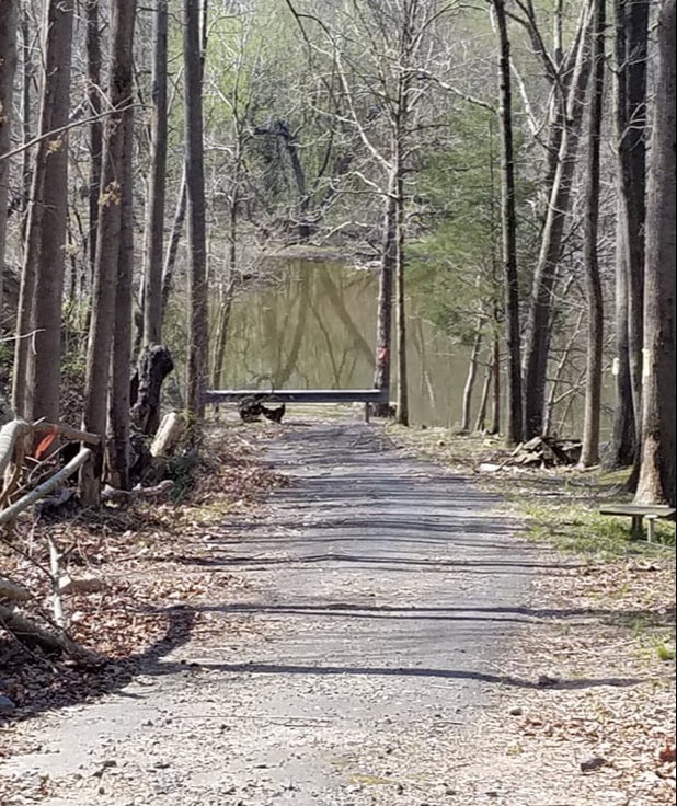
The road leading down to the old bridge from Occoquan Forest.
The old road path leading under the current bridge.
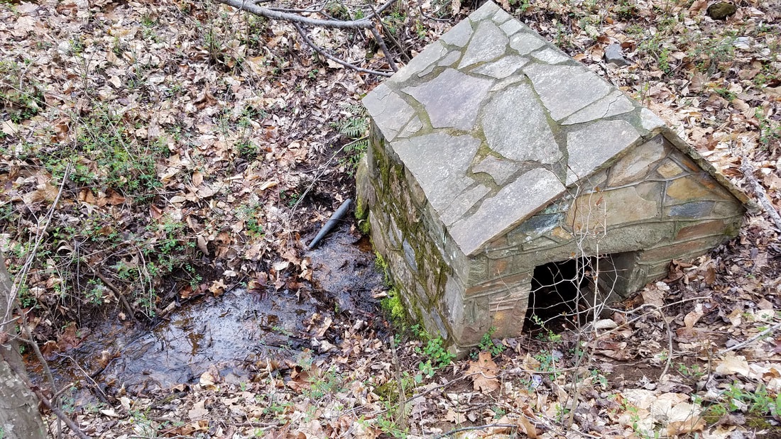
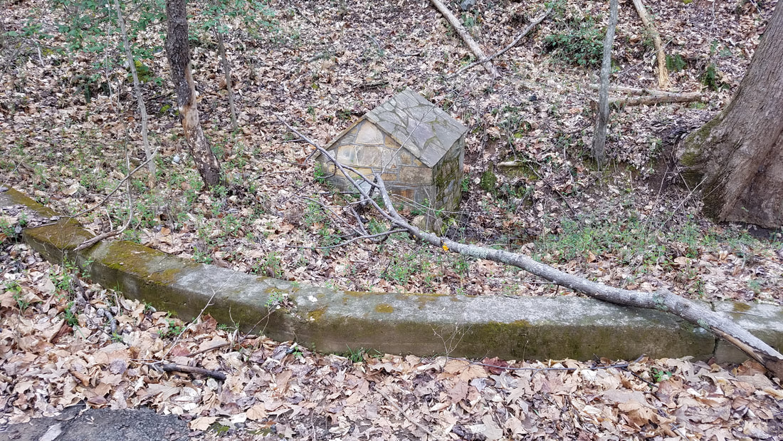
Two sides of a small springhouse next to a section of old Davis Ford.
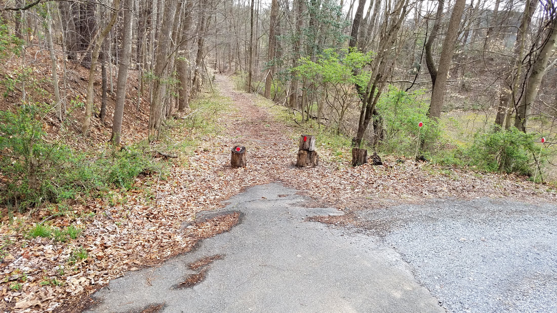
Old Davis Ford Road leading west from the springhouse.
Sights and places along the way
There are some interesting places and stories in some of those twists and turns of the old road. The road traversed an area of small farms, sawmills, schools, churches, stores and dance halls that employed and served the community. Many of these are pictured at bottom.
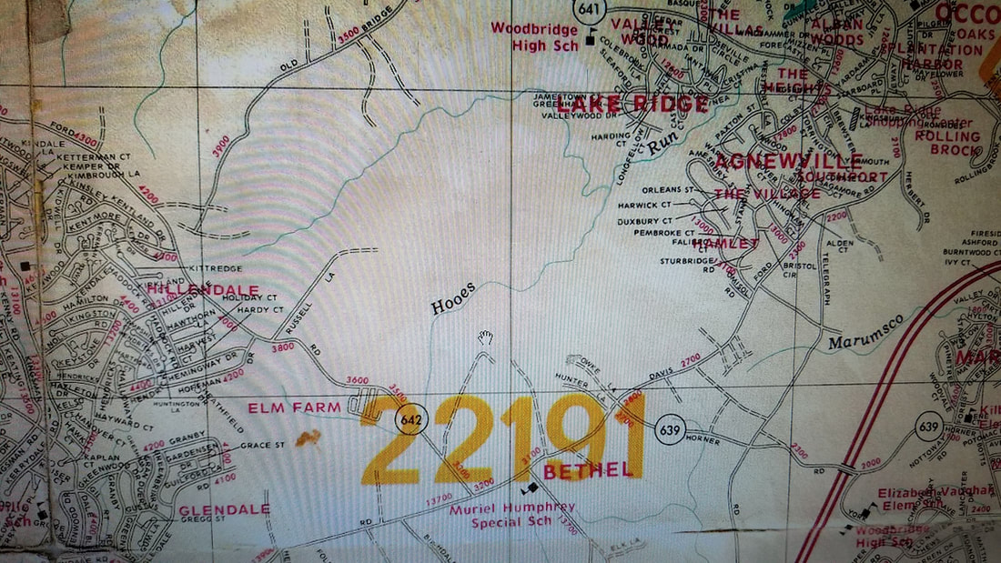
Starting from Occoquan, as you drive along Minnieville Road you come to what was Agnewville,also known as Chinn Town. It ran approximately from Old Bridge Road to Davis Ford Road and over to the current Parkway. It was on the main stage route out of Occoquan, and declined after travel moved to Rt.1. It flourished from around 1890 to 1927.
Agnewville was settled by African-Americans after the Civil War. Mary and Thomas Chinn were former slaves who owned around 500 acres in the area. Six generations of Chinn’s lived in the area.
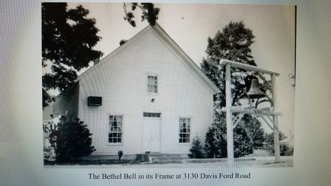
Next up as you drive along Minnieville Road you come to the site of Bethel Church at the intersection of Minnieville Road and Smoketown Road. The church was erected in 1850 on land donated by the Glascock family, who were also church leaders. The church was used as a hospital and stable by both sides during the Civil War and needed considerable repairs after the war. It was moved back from the corner to its current location in 1977.
The Glascock family cemetery is just down Minnieville Road on the right. The Glascock family came here from Fauquier County in 1851. Burr Glascock and his son William were both county supervisors, Burr being the first from the Occoquan District in 1870.
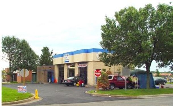
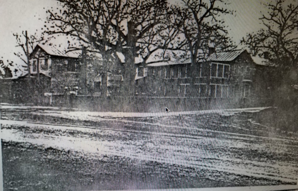
Just across Minnieville along the right side of Smoketown Road near the Mobil Lube Express is the site of the old Bethel High School, the first high school in eastern PWC, built in 1914. It was destroyed by lightning in 1927 and rebuilt as a two-room brick elementary school. In 1968 it was re-dedicated as the Muriel Humphrey School For The Mentally Retarded, the first in eastern PWC with an educational program. It was razed in 1986.
Speaking of Smoketown Road, it has been said that the road got it's name from all the stills in operation in the area- the smoke would hang in the low areas along the road. Prince William County was reportedly a major supplier of moonshine to Washington, D.C. back in the day.
Just a little farther down Minnieville on the left is the site of the old Russel farm and store. The Russel house still stands next to Cowles Ford (it was Dak's Restaurant for a number of years). This was one of the last farms in eastern Prince William County, the land being sold to build a Hechinger hardware store in 1991, which was later converted to Cowles Ford.
The Russel Store was the center of commercial and social activity for the Bethel, Smoketown, Agnewville and Hoadly sections of the county. The store was in operation from the early 1900's until 1977, and was razed in 1992. It’s a great example of the flagstone facing that was common in northern Virginia from the mid-19th century into the 1960's
After the right turn on the Parkway, just before the intersection with Old Bridge Road is the Chinn Library, named after the Chinn family, one of the county's earliest African-American families. The family had numerous homes and a store, and donated land for the Mt. Olive Church. They have a long history of service to the county.
Next up as you drive down the Parkway towards Hoadly Road was the village of Hoadly, at the intersection of roads to Occoquan, Manassas, Independent Hill and the towns of Fairfax County via the fords at Wolf Run Shoals and Sallie Davis's property.
Hoadly extended along Davis Ford approximately from the McCoart building to the old Palm Pools building. Originally, Hoadly Road connected to Davis Ford near the 7-11. Delaney Road connected to Davis Ford near Palm Pools. There was a post office here in various locations, numerous homes, a ballfield featuring the “Hoadly Hellcats,” a dance pavilion and at least three stores. According to reports, the Hellcats relied on a large jug of moonshine to provide refreshment at their games.
The Davis’s, Delaney’s, Reid’s and Posey’s all had stores here, and mainly Davis’s were postmasters, along with a Simpson, a Delaney and a Smith. Men and women both served as postmasters at Hoadly, evenly divided. Postmaster was a political appointment and was quite lucrative.
Areas like Hoadly and Agnewville became more formal and concentrated with the establishment of rural post offices in the early 1800’s. Once a post office was established, folks would make weekly trips there from the outlying farms and timbering operations. This in turn made a ready clientele for a store or dance hall, etc., where folks who came to get their mail each week would hang around to spend money and have fun.
In 1820 there were 8 post offices in PWC, by 1860 15. Grover Cleveland advocated for a post office every 4 miles so folks only had to walk 2 miles either way to get there. By the 1890’s there were 35, every one with a store or two. Thus, even though areas such as Hoadly or Agnewville or Independent Hill were never actual towns with street grids, etc., they were nonetheless important as gathering places and places of commerce.
Teddy Roosevelt initiated Rural Free Delivery in the early 1900’s, and this, along with paved roads, mail-order catalogues, and the Great Depression resulted in most of the rural post offices and stores closing, but the names remain to remind us of what was.
As you turn right on Davis Ford Road it becomes clear what the entire length of this road once looked like.
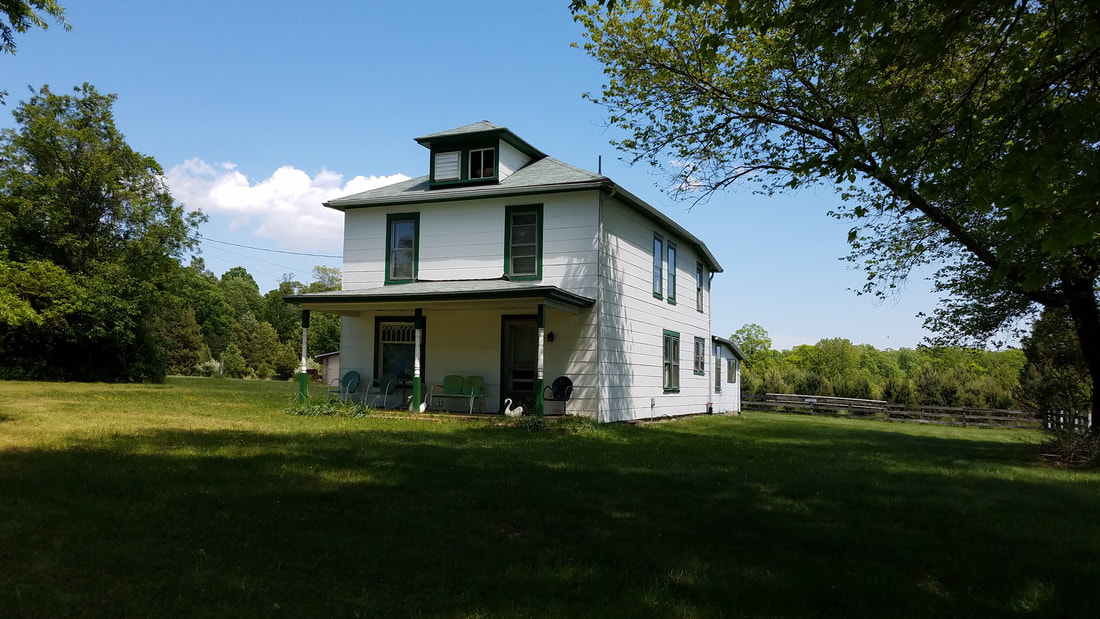
About a quarter-mile down on the right at Bacon Race Road was the Purcell Farm. The old farm house still stands on the now mostly overgrown farmland. Clinton Purcell, who was born in the house and lived his life on the farm, was the last person to farm the land- ceasing operations around 1995. This is a good example of the common farm operation in PWC- anywhere from five to thirty acres.
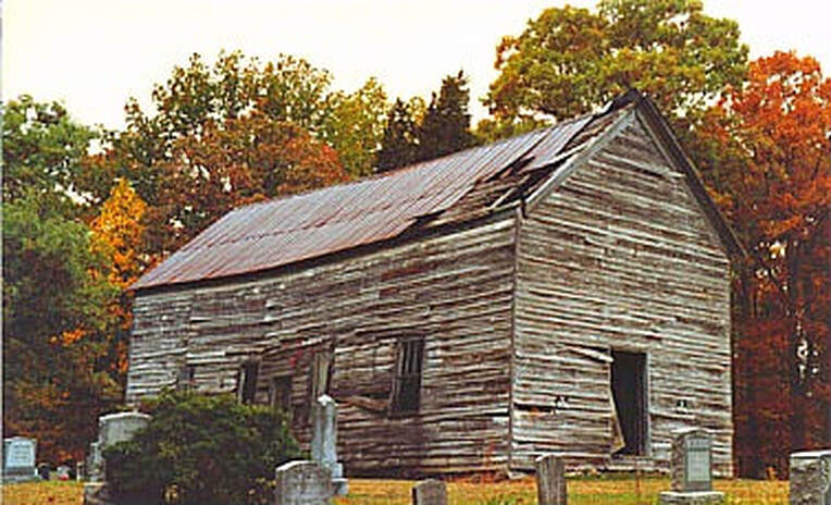
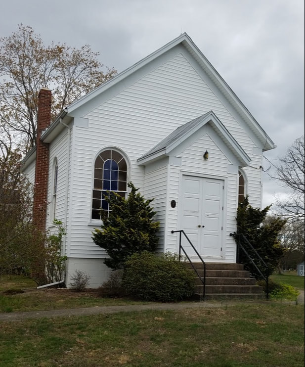
Many folks were drawn to this area by the Reeces Pavillion dance hall across Bacon Race from the Purcell Farm and Bacon Race Church across Davis Ford Road. This was the first Baptist Church established in PWC, also known as the Occoquan Meeting House and Oak Grove Church. Three different church buildings held services here from 1774 to approximately 1938. The last church collapsed on Christmas Eve 1987. The church is shown on the 1820 map above.
Several Confederate Regiments camped here in 1861-62. Bacon Race Road leads to the sites of various Civil War military encampments, cannon emplacements and rifle pits along the Occoquan. These earthworks were built by the Confederates in 1861-62 and abandoned about six months later when the south pulled back to Fredericksburg.
Bacon Race also leads to Ryons Dam, built on the Occoquan in the 1920's for rural electrification.
Bacon Race Road, along with the river crossing at Wolf Run Shoals, were part of the path cut through the woods by General Rochambeau to provide armaments and personnel to Yorktown during the Revolutionary War.
Clinton's brother Rue owned land further down Davis Ford where the subdivision of Running Creek is now and had a timbering operation. Logging, along with farming and moonshine production, were common occupations in PWC until Shirley Highway was extended to PWC in the 1960’s. Loggers used portable steam-powered sawmills to cut the logs into boards. Ideally, they would find a stand of good trees near a creek to supply water for the sawmill.
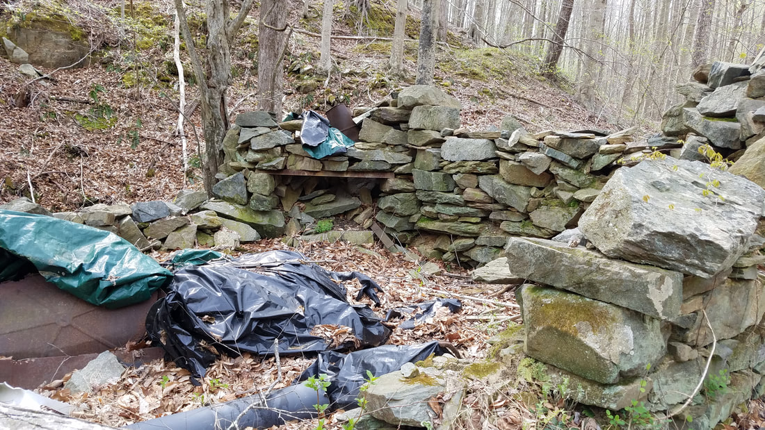
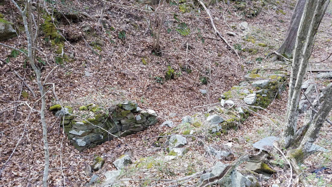
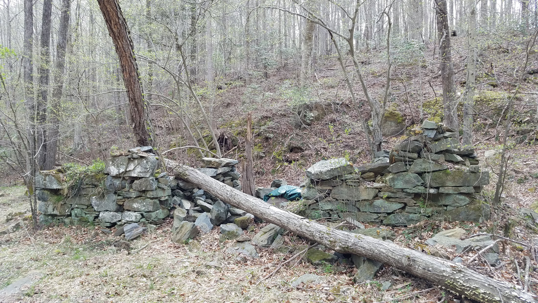
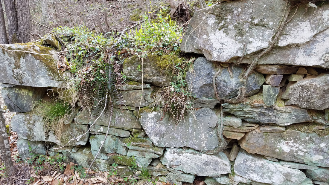
It can't be seen from the road, but the ruins of one of the oldest mills in the county- Priest's (or Peaks) Mill- is along Crooked Creek about two miles down Davis Ford on the left. This was a small mill likely for a few local farmers. It is shown on the 1820 map above. The pictures below show detail of the mill walls, the waterwheel area and the mill race.
Then you come to the crossing of the Occoquan, where according to reports there was a dance hall near where the old road crossed the river before it was dammed (see the first 1937 aerial picture above). The stone grill that was there can still be seen in the water when the level is low enough. A small springhouse still exists on the old road section on the east side of the current road near where a farm used to be. This remained the path of the road until at least 1995.
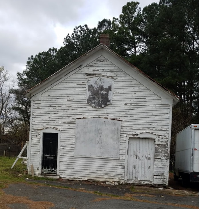
On down the road towards Manassas, you pass the old Buckhall Church built in 1905. Further away from the Parkway on the path of the old road is the Buckhall (or Oak Hill) school and the Buckhall store. The one room schoolhouse was built in 1865 and is reported to be the first public school in western PWC. The store was built in the 1940's and was gutted by fire and rebuilt in 2007-2008.
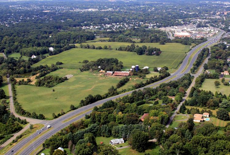
Then it's on to Manassas past the Kline Farm on the left. The Kline family has lived in PWC for generations and farmed here until the 1980's. Other branches of the family owned a drive-in theater in Manassas and two Kline's ice cream locations.
And finally, as you come to the Manassas city limits, you'll see the Davis Ford Crossing shopping center across Liberia Avenue on the right, memorializing the western terminus of this historic highway. Davis Ford Road between Hoadly Road and Yates Ford Road is a wonderful step back to a simpler time when PWC was less crowded but still very connected. Folks worked hard on the farms and in the mills and on the timbering operations (and making moonshine!), then gathered at the churches, dance halls and stores on the weekends.
1974 map showing Agnewville. It extended from Davis Ford to Old Bridge.
Bethel Church
Site of old Bethel School
Russel Farmhouse and Store (the store is on the left).
Detail of Hoadly on the Eugene Scheel Map
1979 aerial photo of old alignment of Hoadly Road, Delaney Road and Davis Ford road.
Purcell Farmhouse
Bacon Race Church
Ruins Of Priest's Mill On Crooked Creek
Water wheel support next to mill
Old mill race
Wall of mill with chinking detail
Old Davis Ford path at intersection of Yates Ford Road and P.W. Parkway
Path of old road vs new at Buckhall Church area.
Buckhall Church
Buckhall School
Kline Farm (on the left of Prince William Parkway) Old Davis Ford Road is to the right of the Parkway.
